IMPORTANT: The use of the App involves a high consumption of the battery. We recommend that you take an additional battery (power bank) of adequate capacity with you.
The App can work without an internet connection. To do this, we recommend that you preload the content that interests you when you have a WiFi connection.
Maps and tracks: on the “Itinerary” screen, select the button at the top right
“Where to sleep” and “What to see”: select the button at the top right of the screens with the list of resources
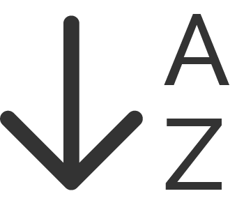
In the list of resources you can sort the data:
In alphabetical order.
By distance from where you are.
NOTE: once the itinerary has been used, it is advisable to download maps and resources from the phone by clicking on the same icons that show an “X”. Maps take up a lot of space on your device and this may prevent subsequent data downloads
FUNCTIONS OF THE MAPS
From the “Itinerary” screen you can access two types of maps.
Interactive map
Oriented to north, it allows zooming using the +/- keys.
View points of interest and hospitality
Center the map on your GPS position.
Center the map on the entire itinerary.
Submit a report by email
View the navigation map.
Navigation map
The map is oriented in the direction of travel, and the zoom is fixed.
Activate the alarm if you stray from the path.
Distance from the arrival point of the itinerary.
OTHER FUNCTIONS
Other functions are available within the App:
GO-TO activates the navigator to reach locations outside the route.
Visit the resource’s website.
Contact the resource by phone.
Contact the resource via email.
Augmented Reality (only in some App versions).
Share on social networks (android-only in some App versions).
Share on social networks (iOS-only in some App versions)
IMPORTANT WARNINGS
Do not rely solely on your smartphone to orient yourself along the way: it is an electronic device that can fail or drain the battery. Also bring a map with you.
The traces of the routes shown on this application are subject to modifications and changes, due to road works, vegetation, snow, hydrogeological instability, etc. .. They must therefore be considered as indicative information, just like the information contained from any topographic map.
In particular, the tracks must be used with the utmost care in cases of poor visibility and adverse weather conditions.
Keep in mind that the position given by the smartphone can be inaccurate, and is conditioned by obstacles such as buildings, rocks, trees.
We encourage anyone who uses the App to pay close attention to the use of information, and not to rely on the smartphone uncritically.
Please report any problems encountered along the way via email.
ItinerAria declines all responsibility for any type of problem or accident that may occur along the routes.