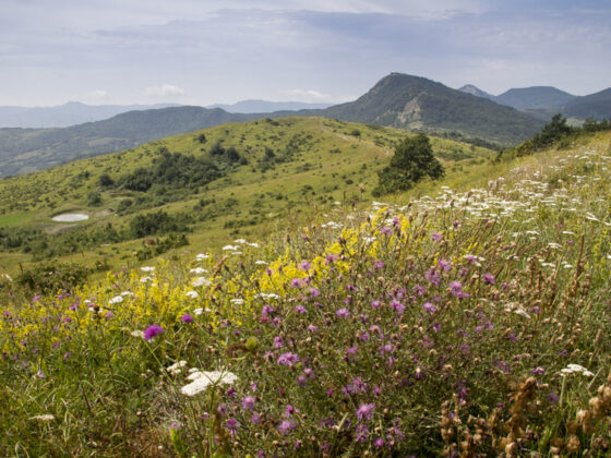
Highly suggestive itinerary within the naturalistic area of Alpe di Monghidoro, among small villages, chestnut and beech forests and beautiful panoramic views.
Length: 10.5 km.
Height difference: + 500 m. / – 500 m.
Difficulty: E (hiking)
Route type: loop, counterclockwise
Start from the center of the village of Piamaggio, in front of the Shrine of the Blessed Virgin of Pompeii, taking CAI trail 909 – Via Mater Dei. Through small hamlets, you reach an area full of mills and plunge into the Alpe forest, among oak, chestnut and beech trees. The path at one point turns left, leaving the Via Mater Dei, and climbs in the direction of ‘Malpasso’. A nice climb leads to the ridge. You then take CAI path 917 – Alta Via dei Parchi in the direction of ‘Raticosa’. Going along a small stretch in Tuscan territory, you re-enter the municipality of Monghidoro, reaching Croce dell’Alpe, a beautiful panoramic point over the Idice and Savena valleys. Along the descent you will be able to admire the Via dei Presepi. After a short stretch of dirt road, turn left, re-entering the woods along CAI path 907, which leads back to the starting point, passing near the Fantorno Shelter and Triton’s Park adventure park.