From Monterenzio to Monte Bibele and San Benedetto del Querceto
From Monterenzio to Monte Bibele and San Benedetto del Querceto
Gps Track
Gps Track
- Start: Monterenzio
- Arrival: San Benedetto del Querceto
- Total Length: 17,5 km
- Difficulty by Foot: Very Hard
- Climb up: 1100 m
- Climb down: 950 m
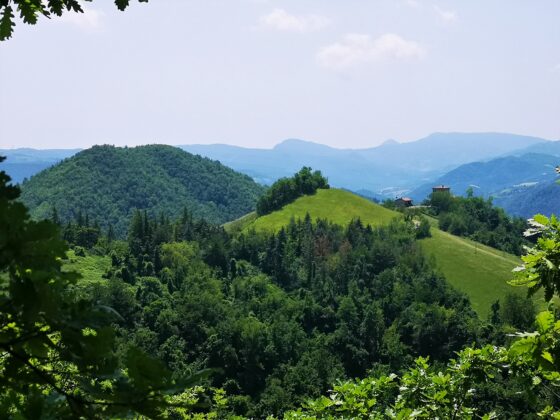
An itinerary of medium difficulty and with a lot of elevation gain that, along dirt roads and trails, leads to the discovery of Monte delle Formiche and the Celtic archaeological area of Monte Bibele.
Length: 18 km.
Height difference: + 1100 m. / – 950 m.
Difficulty: E (hiking)
Route type: linear
The route starts from the center of Monterenzio and descends along Via Idice to the bridge over the stream to the left. Take Via Rocchetta, which soon becomes a path and climbs until it intercepts Via del Fantini at Ca’ di Pippo. Follow Via Monte delle Formiche to reach the sanctuary of the same name located on a rocky outcrop overlooking the Idice and Zena valleys.
Follow the paved road to the hamlet of Maceratoio, after which the road becomes unpaved. The path continues to descend and enters open fields toward the Rio Cereto valley. Past a bridge, the steep path into the woods begins. After a challenging first section, it follows on dirt roads to the village of Castelnuovo di Bisano. From here the path descends gently to a left fork that, among beautiful cottages and cultivated fields, leads through a final climb in the woods to the Archaeological Nature Area of Monte Bibele.
After a visit to the Etruscan-Celtic village of Pianella di Monte Savino, the trail continues to the Idice Valley where it ends.
The itinerary can become a two-day loop route as the return can be made along the Via Flaminia Minor on the opposite side of the Idice Valley. Alternatively, the public bus route leads from San Benedetto to Monterenzio.