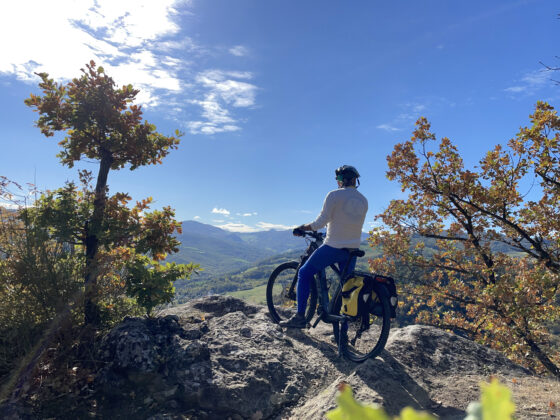
Cycling under the sky
Cycling under the sky
Gps Track
Gps Track
- Start: Loiano
- Arrival: Loiano
- Total Length: 50,3 km
- Cycle type: Mountain bike
- Difficulty by Cycle: Very Hard
- Climb up: 1580 m
- Climb down: 1580 m
This itinerary is quite challenging, both for the significant elevation gain and for some technical passages that can be done carrying the bike by hand. We start leaving Loiano and following the Futa road. After a couple of kilometers, on our left there is the historic astronomical observatory. Shortly after, the route goes left passing by the isolated church of Gragnano and then it descends to Quinzano, where a nice dirt stretch begins inside the Monte Bibele nature archaeological park. The “via della Carrozza” will take us all the way to the park’s service center. It is also possible to continue to the archaeological area of the Etruscan-Celtic settlement, but it will be necessary to leave the bike about 200 meters before the entrance because the last stretch is on a non-bikeable path.
Back on the Zena valley, we continue northwards until we cross Via Monte delle Formiche, a cartroad that points straight toward the mountain of the same name. The mountain is known for the natural phenomenon of winged ants, which come here every year in September. From the square of the sanctuary you will enjoy a beautiful view and reach the Hermit’s Cave. Back down from the mountain we continue north to Cà di Pippo; from there, with a short detour, we can reach the hamlet of Tazzola to visit the small Botroids Museum, a collection of fossils and geological finds collected by the famous speleologist Luigi Fantini.
A little further on a small road on the left will take us, after a technical downhill stretch on trails and dirt roads, to Zena Castle, controlled by the nearby Heir Tower.
The road bends southwards, climbing up the slopes of Monte Rosso; in the last stretch the asphalt gives way to a dirt track that will guide us to Livergnano, a village perched close to the Pliocene buttress where is the small but interesting Winter Line Museum, full of World War II relics.
We start again following the Futa state road; after about four kilometers we take the left fork in the direction of Barbarolo. Shortly after, a technical section begins, with a passage that wedges between rocks where the marks left by tanks during World War II are still visible. The section is short and can eventually be done carrying the bike by hand. After a short while the trail joins a dirt road that will take us first to the lonely Oratory of San Cristoforo and finally, crossing the centuries-old chestnut groves of the area, to the entrance of Loiano.
Watch the 3D video