From Monterenzio to the Via Flaminia Minor
From Monterenzio to the Via Flaminia Minor
Gps Track
Gps Track
- Start: Monterenzio
- Arrival: Monterenzio
- Total Length: 38,9 km
- Cycle type: Mountain bike
- Difficulty by Cycle: Hard
- Climb up: 1300 m
- Climb down: 1300 m
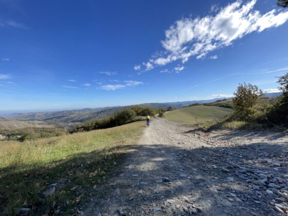
From the center of Monterenzio we start by descending the Idice valley for a couple of kilometers, until we turn right onto Via Lamma. The road, with an average gradient of around 10 percent, quickly takes us to 570 m in altitude. We begin to descend with a dirt stretch to Cà del Vento, then continue by taking a right along via Collina. After a few kilometers of ups and downs along a nice ridge road, we take via Calvanella on the right, a dirt road that quickly takes us to the bottom of the Sillaro valley, to the hamlet of San Clemente. We cross the provincial road to continue straight on via Mingardona and take, before the bridge, the dirt road that follows the stream bed, fording it a couple of times. Normally the fords are easy and almost dry but, in case of a lot of water, at San Clemente you can turn right following the valley floor. After a few kilometers, at the height of the Thermal Village, the dirt road joins the provincial road, which we will follow for about 5 kilometers until we turn right onto the ascent of Villa Sassonero. When you reach the end of the climb, our track turns right but, if you are looking for a photo to post on social media, you could follow the signs toward Bisano, then keeping left shortly after, on Via Casoni di Romagna; after a while you will find yourself among the photogenic blades of the Monte delle Carpenine wind farm. Picking up the description from the previous junction, our route follows the signs for Villa di Cassano, beginning to descend. After less than two kilometers, care must be taken to take the dirt road on the right (via Collina) that will allow us to continue on the scenic ridge road for a few more kilometers. When we reach where the asphalt begins again, we take a left toward Monterenzio and after a kilometer turn right onto via della Rocca, a cartroad that will let us reach the valley floor in the shade of the woods. When we reach the bottom, we turn left to quickly reach Monterenzio and the Civic Archaeological Museum “Fantini,” where we left our car.
Watch the 3D video