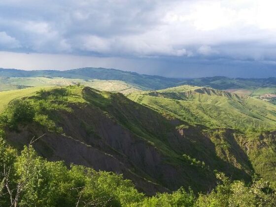
The Via del Fantini is a hiking trail of more than 50 km, which can be walked in 3 or 4 legs, rising from the rolling hills of San Lazzaro di Savena to San Benedetto del Querceto. The trail follows the Valley of the Zena Stream passing through nature parks and ancient villages on spectacular paths.
For more information: https://viadelfantini.it